Take a tour of our creeks and Dobbins Island, or watch our related Living History Videos, by clicking on the links below.
The Magothy River
The Magothy River originates in Anne Arundel County in Severna Park, Maryland, and flows for approximately 6 miles into the Chesapeake Bay next to Gibson Island, between the Patapsco and Severn Rivers.
It is a tidal sub-estuary of the Chesapeake Bay with a watershed area of 44 square miles, including about 9 square miles of water surface. It is probably best known among recreational boaters for the popular anchorage behind Dobbins Island.
Its navigable tidal portion is crossed by one bridge, located on Magothy Bridge Road in Pasadena. Its upper, non tidal portion is called Magothy Branch, and is dammed at MD 648 (Baltimore-Annapolis Boulevard) to form Lake Waterford. The river is less than one hour from Washington, Baltimore, and Annapolis.
River History
The Magothy River originates in Anne Arundel County in Severna Park, Maryland, when rising sea level marking the end of the ice age flooded river and creek valleys, creating a series of sub-estuaries. The rising sea buried the land within the Magothy River valley and, with it, the remains of its earliest inhabitants.
We can only speculate about the Indian culture that existed in the area 10,000 year ago. Artifacts from nomadic tribes lived along these shores date back to 5,000 – 1,500 B.C. These Indians wandered the wooded, pristine shores, hunting, fishing, and gathering food. Later, the Algonquin tribes occupied the area until the belligerent Susquehannocks chased them south. In 1652, the Susquehannocks made a peace treaty with Maryland settlers and eventually disappeared from the area as well.
Land around the Magothy River remained relatively undisturbed until the l8th Century. But once the settlers realized this flat, fertile soil was ideal for tobacco and wheat cultivation, trees were cleared and farm land became a defining feature. The proximity of the Chesapeake and her major ports — Baltimore to the north and Annapolis to the south — made crop transport efficient and profitable. As the population grew, farms were sold and subdivided for residential development. Today, the shoreline of the Magothy is dotted with homes. Privately held waterfront property and surrounding developments have closed off virtually all public access to the river.
The photograph on the top right was taken by a West Virginia surveyor who vacationed on the Magothy in the 1020’s and 1930’s.It was discovered in the West Virginia archives and shows the paddler headed towards Dobbins Island.
For more information on the history of the Magothy River see:
My River Speaks – The History and Lore of the Magothy River by Marianne Taylor
The Magothy River Index provides an assessment of the health of the tidal river for communication to the residents of the watershed. Data for the index are collected at seven mainstem stations and at up to 15 shallow water stations by volunteers who sample every two weeks between mid-April and mid-October. The Index is based on three parameters:
- Water clarity, calculated as the percent of the time that Secchi Disk Depths are greater than or equal to 1 meter
- The percent of the time that the dissolved oxygen concentrations are at least 5 mg/L in the deepest water at each station
- The coverage of submerged aquatic vegetation.
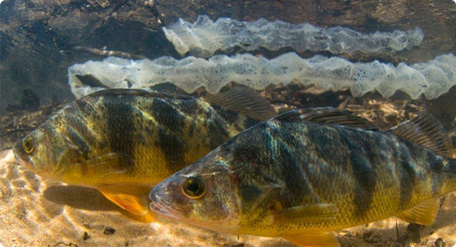
Magothy River Wildlife and Plants
Overview of the wildlife and plants found in and around the Magothy River watershed.
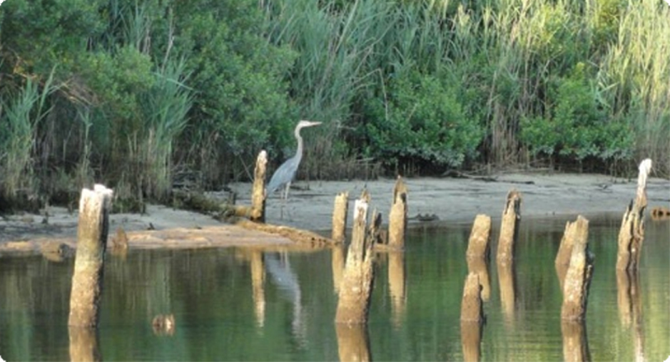
Wildlife
Sections entitled Birds, Mammals, Fish, Shellfish, Reptiles and Amphibians, Invertebrates.
Learn More